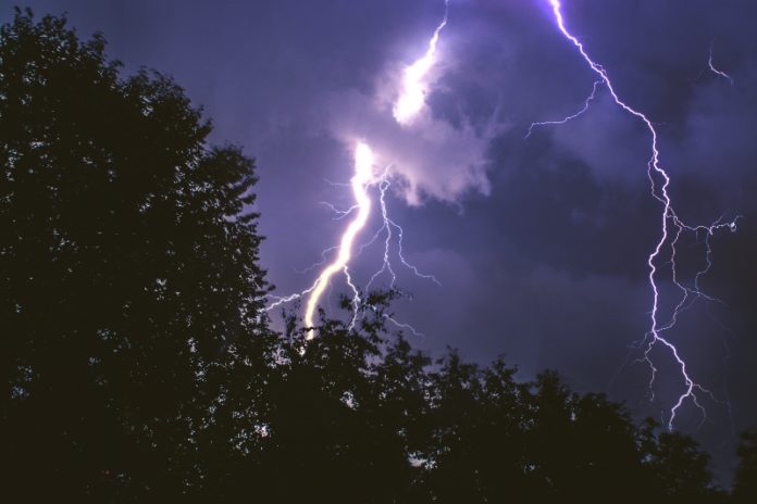
Well, boys and girls… tired of the snow??? Been enjoying this great weather? Well, put all that lawn furniture you pulled out with this week’s warm temps. Put the suntan lotion away and get the hand lotion back out. Make sure you have batteries, your weather radio and your phone are charged, because Thursday, February 17, is going to bring you everything you don’t want from the weather.
WINDS– Wind advisory in effect for Thursday, but, gusts ahead of advisory. From The NWS:
TNZ005>011-023>034-056>066-075-077>080-093>095-162100-
/O.NEW.KOHX.WI.Y.0002.220217T1200Z-220218T0300Z/
Stewart-Montgomery-Robertson-Sumner-Macon-Clay-Pickett-Houston-
Humphreys-Dickson-Cheatham-Davidson-Wilson-Trousdale-Smith-
Jackson-Putnam-Overton-Fentress-Perry-Hickman-Lewis-Williamson-
Maury-Marshall-Rutherford-Cannon-De Kalb-White-Cumberland-Bedford-
Coffee-Warren-Grundy-Van Buren-Wayne-Lawrence-Giles-
Including the cities of Dover, Clarksville, Springfield,
Hendersonville, Gallatin, Goodlettsville, Lafayette, Celina,
Byrdstown, Erin, Tennessee Ridge, Waverly, New Johnsonville,
McEwen, Dickson, Ashland City, Kingston Springs, Nashville,
Lebanon, Mount Juliet, Hartsville, Carthage, South Carthage,
Gordonsville, Gainesboro, Cookeville, Livingston, Jamestown,
Allardt, Linden, Lobelville, Centerville, Hohenwald, Franklin,
Brentwood, Columbia, Lewisburg, Murfreesboro, Smyrna, La Vergne,
Woodbury, Smithville, Sparta, Crossville, Shelbyville, Tullahoma,
Manchester, McMinnville, Altamont, Coalmont, Spencer, Clifton,
Waynesboro, Lawrenceburg, and Pulaski
301 AM CST Wed Feb 16 2022

...WIND ADVISORY IN EFFECT FROM 6 AM TO 9 PM CST THURSDAY...

* WHAT...South winds 15 to 30 mph with gusts up to 45 mph
  expected.

* WHERE...Most of Middle Tennessee.

* WHEN...From 6 AM to 9 PM CST Thursday.

* IMPACTS...Gusty winds could blow around unsecured objects.
  Tree limbs could be blown down and a few power outages may
  result.
Rain Expectations: Right now the NWS in Nashville is predicting anywhere from 1″ to 1.5″ in most of Middle Tennessee, localized flooding is probable.
Severe Storm Threat: From the NWS Storm Prediction Center:
greater low-level theta-e advection suggests that the
   boundary layer will become at least neutral, and therefore greater
   certainty of surface- or near-surface-based storms exists -- both
   near the advancing cold front, and also with associated warm
   advection-driven bands of convection in the free warm sector.  As
   noted above, very strong shear -- with south-southwesterly 850 mb
   winds in excess of 50 to 60 kt increasing to west-southwesterly at
   70 to 90 kt at mid levels -- is suggestive of supercells, and
   attendant risk for damaging winds and several -- and possibly
   locally strong/damaging -- tornadoes.  As such, an upgrade to
   enhanced risk is being introduced, centered across the Tennessee
   Valley area from late afternoon through the evening hours.
With all of this being said… We will be providing coverage all day for Middle Tennessee. Watches and warnings will be posted to our social media for your county. And Our LIVE Traffic map and LIVE weather radar will keep you safe Close To Home.
FIND YOUR Close To Home TRAFFIC FOR YOUR COUNTY
FIND Close To Home WEATHER FOR YOUR AREA


