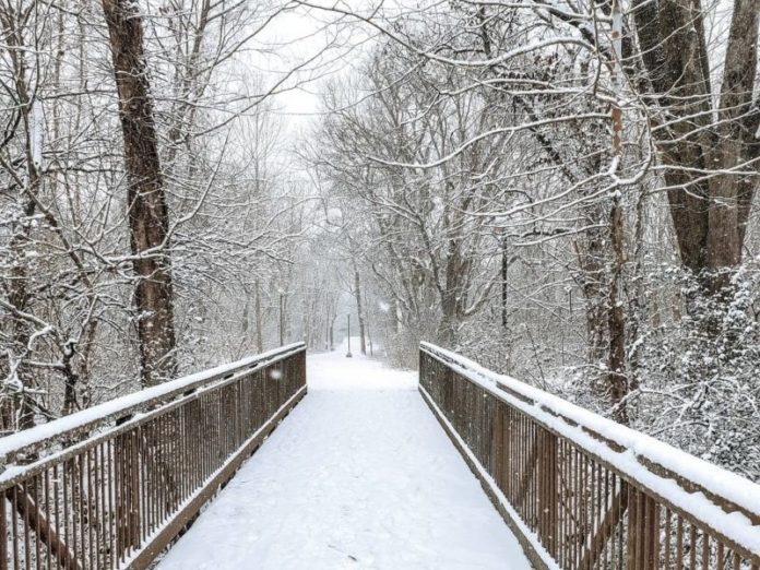
The National Weather Service is predicting a fast-moving winter storm, coming in Friday and lasting through Saturday. Here’s the latest:
URGENT - WINTER WEATHER MESSAGE
National Weather Service Nashville TN
235 AM CST Fri Mar 11 2022

TNZ005>008-023>027-056>060-093-094-121200-
/O.CON.KOHX.WW.Y.0009.220312T0000Z-220312T1200Z/
Stewart-Montgomery-Robertson-Sumner-Houston-Humphreys-Dickson-
Cheatham-Davidson-Perry-Hickman-Lewis-Williamson-Maury-Wayne-
Lawrence-
Including the cities of Dover, Clarksville, Springfield,
Hendersonville, Gallatin, Goodlettsville, Erin, Tennessee Ridge,
Waverly, New Johnsonville, McEwen, Dickson, Ashland City,
Kingston Springs, Nashville, Linden, Lobelville, Centerville,
Hohenwald, Franklin, Brentwood, Columbia, Clifton, Waynesboro,
and Lawrenceburg
235 AM CST Fri Mar 11 2022

...WINTER WEATHER ADVISORY REMAINS IN EFFECT FROM 6 PM THIS
EVENING TO 6 AM CST SATURDAY...

* WHAT...Snow expected. Total snow accumulations of 1 to 3
  inches. Winds gusting as high as 35 mph.

* WHERE...Western Middle Tennessee including most of the
  Nashville metro area.

* WHEN...From 6 PM Friday to 6 AM CST Saturday.

* IMPACTS...Plan on slippery road conditions. Travel could become
  difficult in some areas.

PRECAUTIONARY/PREPAREDNESS ACTIONS...

Slow down and use caution while traveling.

The latest road conditions for the state you are calling from can
be obtained by calling 5 1 1.

&&

$$

Shamburger
Hazardous Weather Outlook
Hazardous Weather Outlook
National Weather Service Nashville TN
422 AM CST Fri Mar 11 2022

TNZ005>011-023>034-056>066-075-077>080-093>095-121030-
Stewart-Montgomery-Robertson-Sumner-Macon-Clay-Pickett-Houston-
Humphreys-Dickson-Cheatham-Davidson-Wilson-Trousdale-Smith-Jackson-
Putnam-Overton-Fentress-Perry-Hickman-Lewis-Williamson-Maury-
Marshall-Rutherford-Cannon-De Kalb-White-Cumberland-Bedford-Coffee-
Warren-Grundy-Van Buren-Wayne-Lawrence-Giles-
422 AM CST Fri Mar 11 2022

This Hazardous Weather Outlook is for Middle Tennessee.

.DAY ONE...Today and tonight.

A Winter Storm Warning is in effect east of I-65 from Friday evening
into early Saturday morning, and a Winter Weather Advisory is in
effect along and west of I-65.

A strong cold front will move across Middle Tennessee today, with a
brief period of light rain early this evening changing to snow by
late evening and overnight before ending by sunrise Saturday morning.
Snow amounts are expected to reach to 3 inches in the Winter Weather
Advisory, and 3 to 6 inches in the Winter Storm Warning. These snow
amounts will create very hazardous road conditions and travel will
likely become difficult. In addition, strong and gusty northwest
winds up to 40 mph along with the weight of the snow could knock
down some trees and power lines, causing scattered power outages.

.DAYS TWO THROUGH SEVEN...Saturday through Thursday.

Unusually cold temperatures will continue across the area from
Saturday morning through Sunday morning, with lows in the 10s/20s
and highs only in the 20s/30s. Wind chill values will be even colder
and drop into the single digits at times.

.SPOTTER INFORMATION STATEMENT...

Spotter activation will be needed for snow amounts. Please relay any
information about observed winter weather to the NWS while following
all local, state, and CDC guidelines.

$$

Shamburger
Live Weather Radar
Key Forecast Points:
Areas Impacted: All of Middle Tennessee, with the greatest impacts likely east of I-65.
Timing: Rain will quickly transition to snow, beginning in the northwest after 6 PM. The
the heaviest snow will be between 9 PM tonight and 3 AM Saturday, with snow moving
east of the area by daybreak Saturday morning.
Impacts: Widespread 1 to 5+ inches of snowfall is expected. Locally higher amounts
are possible, especially where narrow bands of heavy snowfall develop…primarily along
and east of I-65. Despite warm ground temperatures, snow will accumulate quickly on
grassy and elevated surfaces, followed by roadways as snow continues and
temperatures drop.
Live Traffic Map
Confidence: Models are in great agreement this morning, boosting our confidence in
the likelihood of accumulating snow and hazardous travel impacts late tonight into
Saturday morning. The greatest impacts will be along I-65 and to the east, toward the
Cumberland Plateau.


